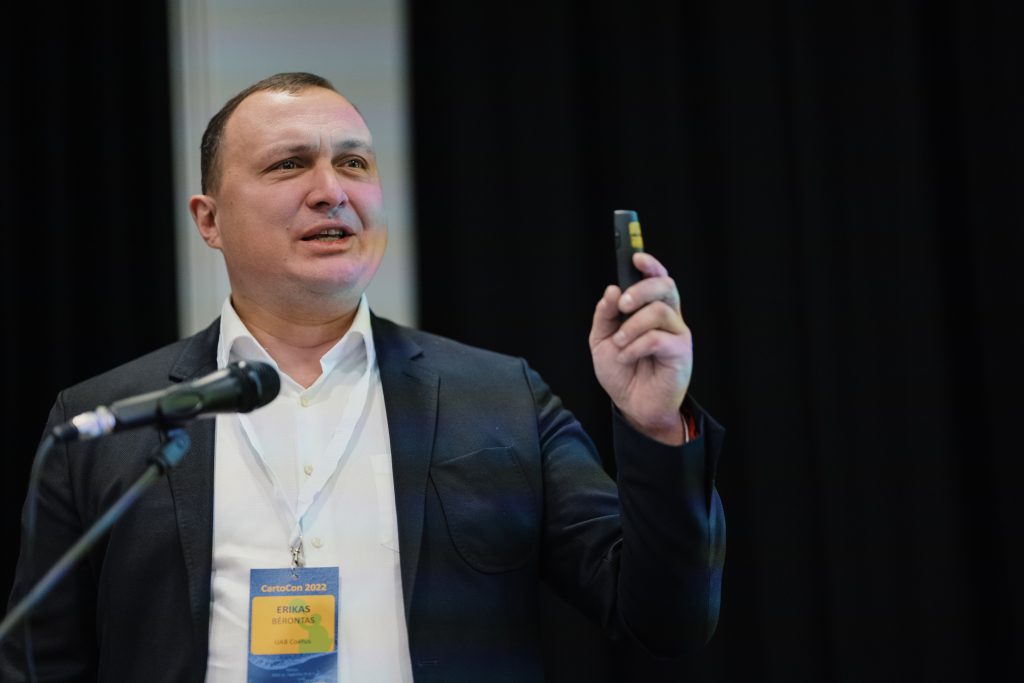
The purpose of the conference is to strengthen cooperation between scientists and researchers working in business in the field of Lithuanian spatial information science and technology, and communication to the Lithuanian public about the possibilities of using spatial information in various areas of life. At this year's conference, we focused on topical issues and areas where the potential of maps, geographic information and technologies, and remote sensing are still underutilized. Examples of such fields are health protection, the fight against crime and corruption, and the solution of social problems.

At the conference held in Vilnius, the leader of the company gave a presentation: "Practical use of radar satellite data in GIS solutions".