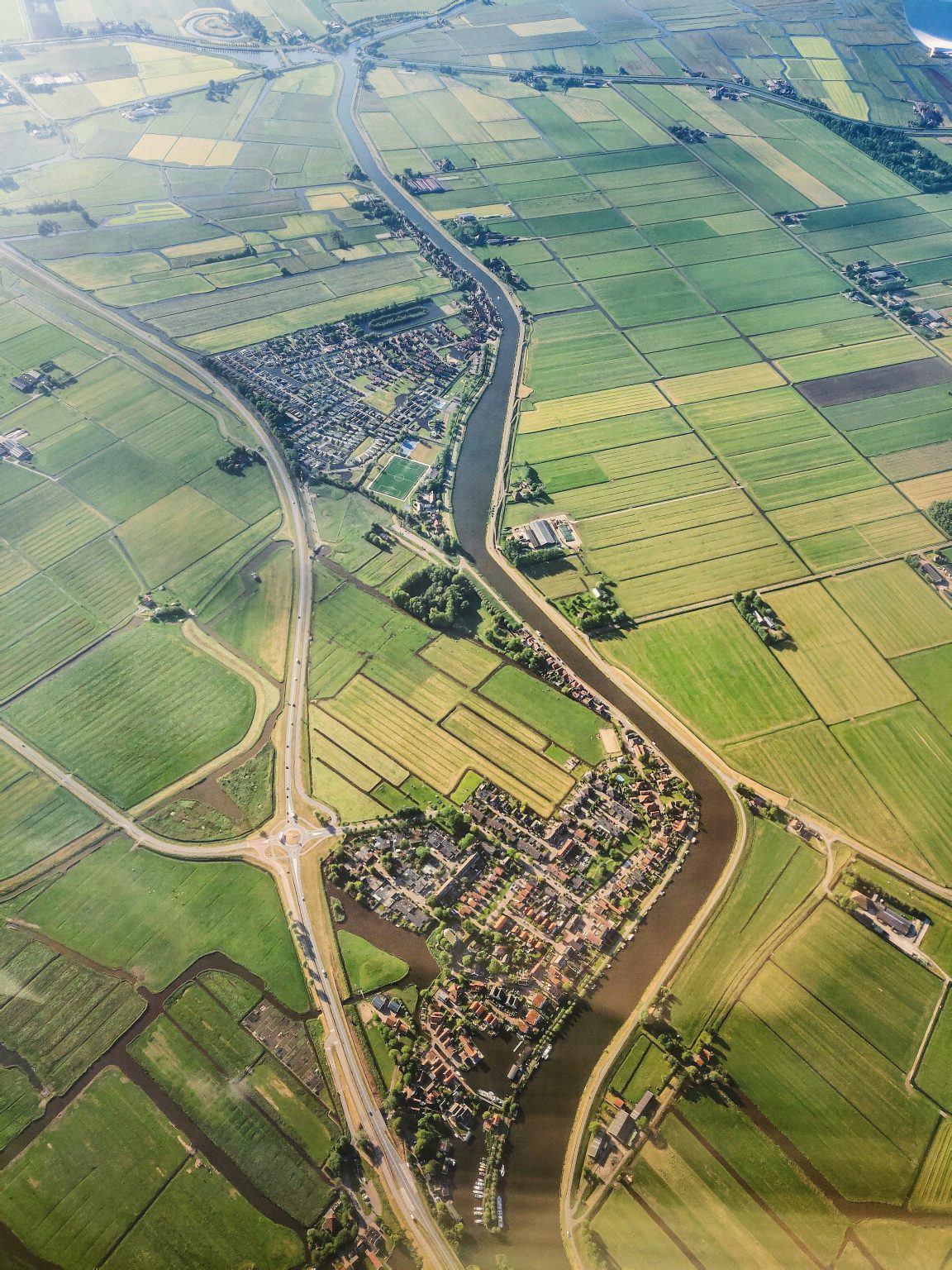
We Observe The Earth From Space
With the help of satellites, we monitor the Earth’s surface and the processes and changes taking place on it.
How does it work?
Earth observation with the help of artificial satellites is remote research that provides data or knowledge about an object without directly touching it. Surface data is obtained using the part of the radiation spectrum of waves reflected from the Earth’s surface or photographs of the surface.
Identification and typification of surfaces

Analyzing and monitoring of agricultural land

Observation of urbanistic and green spaces

Capturing of damage caused by natural factors

About Coetus
The planet Earth has been observed using satellites for many years – this is how information is obtained about the Earth’s surface and the processes taking place on it. Using advanced algorithms based on artificial intelligence and satellite information, UAB “Coetus” is looking for more convenient and efficient solutions in areas such as agriculture, forestry or urban infrastructure.

“Coetus” is on the list of 40 winners compiled by the Grand Jury of the “World Summit Awards” (WSA) global competition for digital projects.

News
Lithuanians to Develop Earth Observation Tool: One of the Brightest Achievements in Lithuania’s Space Sector
Lithuania’s space business sector continues to move forward as two...
DaugiauLithuanians among the world’s top digital innovators.
After the easing of pandemic restrictions, the final event of...
Daugiau“Coetus” is on the list of 40 winners compiled by the Grand Jury of the “World Summit Awards” (WSA) global competition for digital projects.
https://coetus.lt/wp-content/uploads/2022/12/EveryTreeMatters-52mb.mp4
DaugiauErikas Berontas, the leader of @ Coetus attended at the science and technology conference ” Spatial data and maps for a better future” with a speech: “Practical use of radar satellite data in GIS solutions”.
The purpose of the conference is to strengthen cooperation between...
Daugiau- +370 671 02451
- info@coetus.lt
- UAB "Coetus"


